Dells of the Wisconsin River State Natural Area
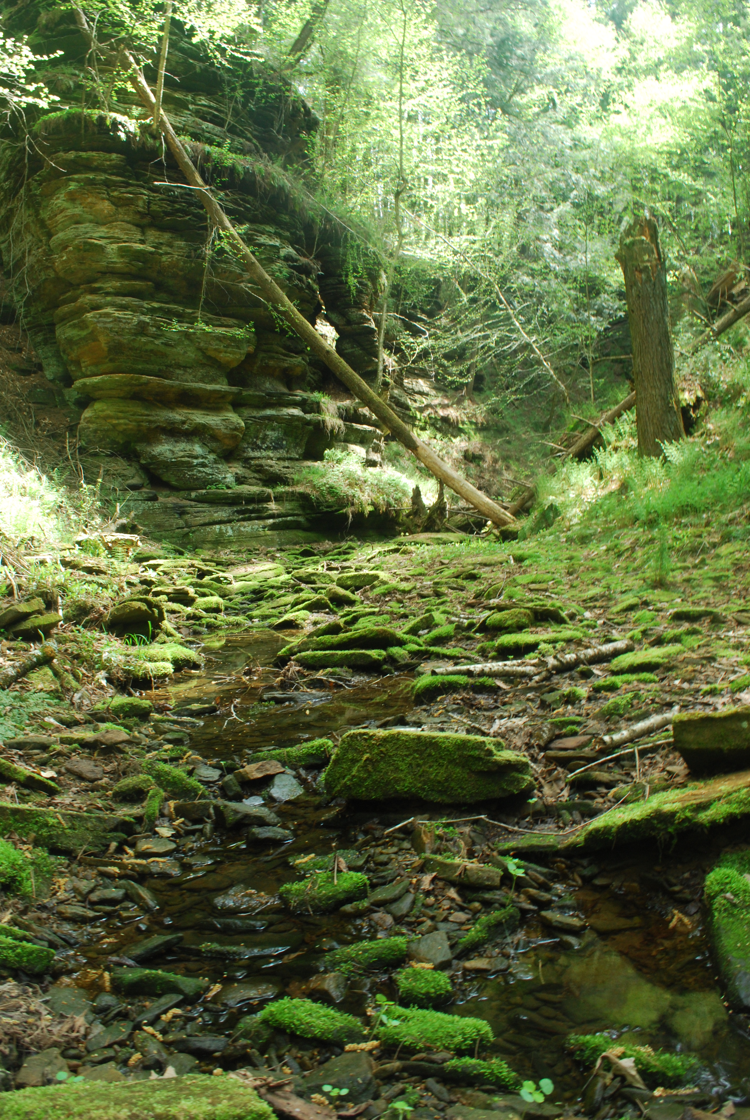
a typical glen within the property (Photo: Joshua Mayer)
This property best tells the story of the draining of the ancient Glacial Lake Wisconsin at the end of the most recent glaciation of Wisconsin 12,000 – 15,000 years ago. The Dells of the Wisconsin River State Natural Area is a hidden natural treasure that hugs the shoreline of the Wisconsin River and bounds the city of Wisconsin Dells both to the north and to the south. The state-owned property spans 1,300 acres and includes five miles of Wisconsin River shoreline—the iconic and breathtaking “dells” that have contributed to the area’s popularity. (Yes, the dells of the Wisconsin River existed before waterparks!) The site protects several rare plant communities, including a nice example of northern dry forest dominated by red, black and white oak, white pine and hemlock. The steep cliffs and deep glens harbor a number of rare species found nowhere else in the state. For this reason much of the property is off-limits to visitors. However, the property offers a delightful respite from the congested commercialism of the Dells.
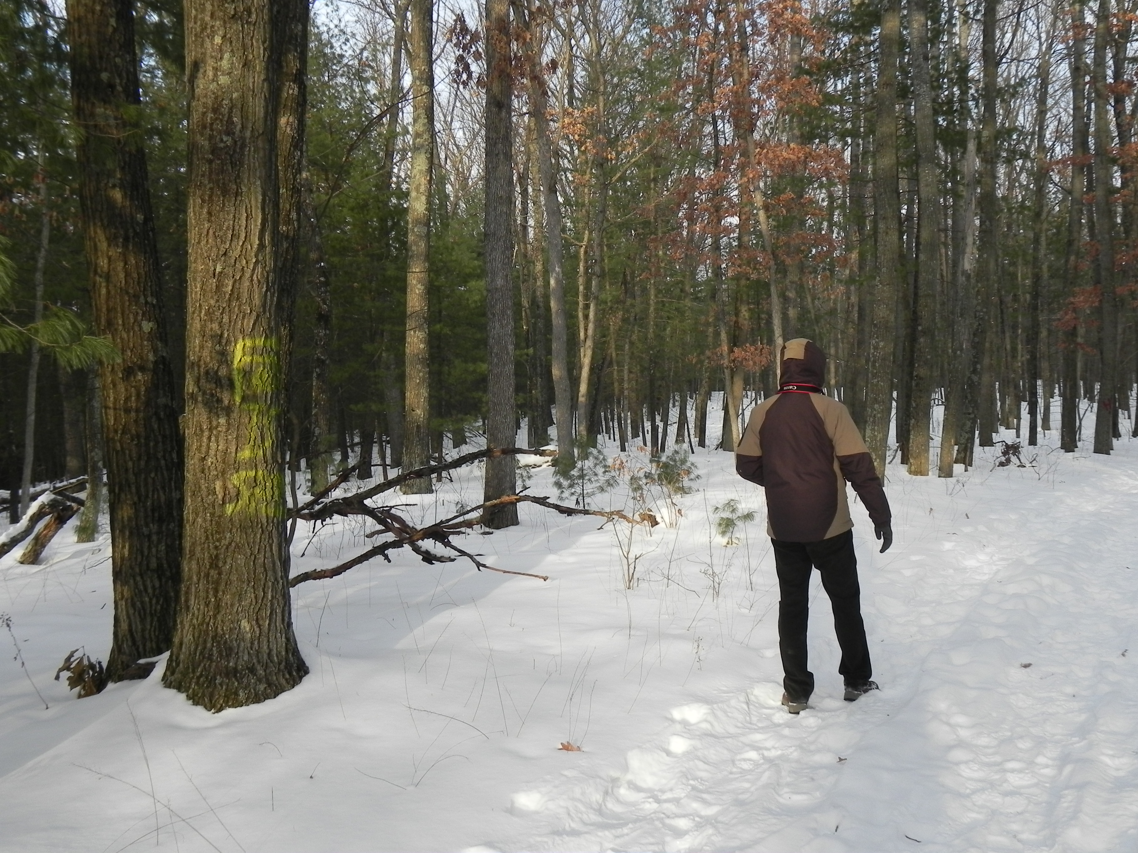
It’s an easy hike to the River from the main parking lot
From the parking lot on the west side of River Road north of the Dells, an easy trail meanders through forested land toward the River where one can glimpse the beautiful sandstone bluffs before returning to the parking areas via a loop trail. Stay alert—the rare red-shouldered hawk and pileated woodpecker among many other bird species make this woodland home.
Although the sandstone layer is ancient (510+ million years), the dells themselves were formed very recently (geologically speaking) when the ancient Glacial Lake Wisconsin broke through a thin dam at this site some 12,000 or so years ago and the massive quantity of backed-up water eroded– in a matter of days (!)– what we experience today as the dells. The dam on the Wisconsin River at Wisconsin Dells has backed up the river water, covering many feet of the bluffs. Nonetheless, the bluffs still stand in some places 100 feet above the River offering breathtaking views.
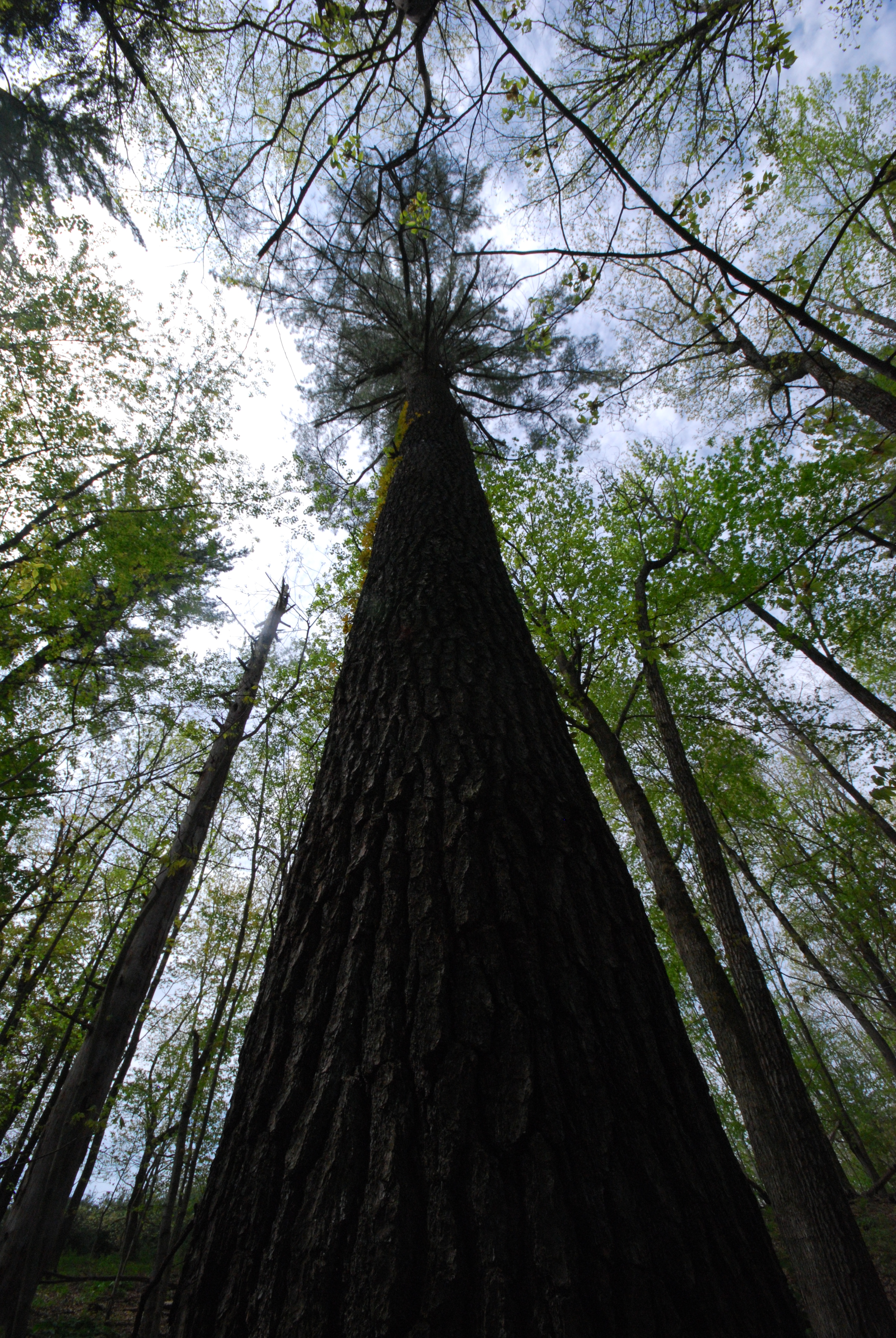
This site is characterized by large white pines and red oaks
Please stay on the trail and observe the signs. There are no restrooms at this property.
Destination Information
County: Adams County
Type: Natural
Activities: Bird & Wildlife Viewing, Cross-Country Skiing, Hiking Trails, Rock Formations & Bluffs, State Natural Area
Website: DNR Website
Property Managed By: Wisconsin Department of Natural Resources
Size: 1,300 acres
Coordinates: 43.64879, -89.77486
Driving Directions: From the intersection of State Highways 12 and 13/23 in Wisconsin Dells, go east on Highway 13 0.6 mile (across the river), then north on River Road (1st stoplight) 1.7 miles to a parking area west of the road. A hiking trail leads to the river. Another parking area is located 1.9 miles further north along River Road. The rock formations are best seen by water. A boat landing is located on River Road 0.5 mile north of Highway 13.
Additional Files:
Dells of the Wisconsin River SNA Map
Google Map Directions (opens new window)
More destinations in Adams County
Last Verified: 2026-10-20
Did we miss something? Please contact us with any corrections.